New Plymouth is situated in the Taranaki district and is on the West Coast of the North Island. New Plymouth derives a lot of its income from offshore engineering (gas/oil), its port and farming. The Taranaki province is also part of the Hurricanes Super 15 rugby district and is home to many good rugby players, some All Blacks too.
Taranaki is renowned for its good surf. It even has a highway called Surf Highway 45. To see more on the on the Highway and surf locations check the two links below.
http://www.windwand.co.nz/surfhw45.htm
http://www.newzealand.com/int/article/surf-highway-45/
One of the other big attractions is Mt Egmont. There are skiing/boarding options there. However, if your looking for the best ski facilities go to Mt Ruapehu.
Check out the links below for more on skiing/boarding at Mt Egmont.
http://www.skitaranaki.co.nz/
http://www.tourism.net.nz/ski-fields-new-zealand.html
I'd have to say one of the not so greatest feats of Taranaki is the 'Wind Wand'. Council paid an artist in the hundreds of thousands of dollars to build a tall structure that looks like a wand and bends in the wind. Check out the video of the Wind Wand below.
For more things to do in New Plymouth. Check out;
http://www.taranaki.co.nz/
http://www.taranaki.info/
A blog dedicated to showing how amazing New Zealand is and to provide tips for people wanting to travel around New Zealand.
Saturday, March 31, 2012
Thursday, March 29, 2012
Great Video of New Zealand
A great video done by Tourism New Zealand for the New Zealand 100% Pure You campaign.
Tourism NZ is now advertising into many countries including America, China, France, Germany and the United Kingdom.
Find out more on Tourism New Zealand at http://www.tourismnewzealand.com/about-us/what-we-do-and-how-we-do-it/campaign/
Tourism NZ is now advertising into many countries including America, China, France, Germany and the United Kingdom.
Find out more on Tourism New Zealand at http://www.tourismnewzealand.com/about-us/what-we-do-and-how-we-do-it/campaign/
Ruatiti Camping Ground
I'd have to rate this place as one of the rare gems of New Zealand. It's a camping ground I have been going to since I was two. So 20 years on and off I still go back there. Why?
Well it's a peaceful place away from the hustle and bustle of the cities, plenty of fishing, kayaking, rafting, swings, swimming, back yard cricket, touch rugby, native wildlife (blue ducks) and co plus plenty of other amazing things to do. The best part though is it's free to camp at! There aren't many places around NZ that are free to camp at anymore. This no fee includes camper-vans etc.
Ruatiti Domain is approximately 20-25mins out of Raetihi in the Ruapehu National Park district (North Island).
The camp ground is situated between the Manganuioteao River and the Ruatiti Stream. It has toilet facilities and cubicles to hang up solar or portable showers. All drinking water taken from the river, stream or taps is suppose to be boiled. Most popular time is around Christmas and New Years.
Here's a good website for looking up fishing spots, weather reports and regulations in the Ruatiti Domain area.
http://www.nzfishing.com/FishingWaters/Taranaki/TNKFishingWaters/TNKManganuioteao.htm
Also, if you're into hunting there's the Ruatiti Station just up the road that takes guided hunts for red deer and boar etc. For more information check the website below.
http://www.safarisupply.co.nz/Resources/Hunting+Guides++Access/North+Island+-+Central/Ruatiti+Wilderness.html
Directions to Ruatiti from various locations via Google Maps
From Taupo
http://maps.google.co.nz/maps?saddr=Taupo,+Waikato&daddr=Ruatiti+Stream,+Ruatiti,+Manawatu-Wanganui&hl=en&ll=-39.074644,175.874634&spn=1.142875,2.705383&sll=-39.302425,175.290298&sspn=0.284796,0.676346&geocode=FQS0sf0dQp5-CilbFksUd-9rbTHgCaNDYe8ABQ%3BFUQqqP0dxlVxCinFDIJuBNxqbTFg9t9lYe8AKg&oq=ruati&gl=nz&mra=ls&t=m&z=9&source=gplus-ogsb
From Wanganui to Ruatiti
http://maps.google.co.nz/maps?saddr=Wanganui,+Manawatu-Wanganui&daddr=Ruatiti+Stream,+Ruatiti,+Manawatu-Wanganui&hl=en&ll=-39.595107,175.388489&spn=1.134399,2.705383&sll=-39.074644,175.874634&sspn=1.142875,2.705383&geocode=FRe3nv0d0gRvCilLY3Z-dLhqbTEymaNDYe8ABQ%3BFUQqqP0dxlVxCinFDIJuBNxqbTFg9t9lYe8AKg&oq=wan&gl=nz&mra=ls&t=m&z=9&source=gplus-ogsb
From Palmerston North
http://maps.google.co.nz/maps?saddr=Palmerston+North,+Manawatu-Wanganui&daddr=Ruatiti+Stream,+Ruatiti,+Manawatu-Wanganui&hl=en&ll=-39.802206,175.578003&spn=1.131,2.705383&sll=-39.595107,175.388489&sspn=1.134399,2.705383&geocode=Fc5FmP0dlpF3CimDRKO9n61BbTEVmaJDYe8ABQ%3BFUQqqP0dxlVxCinFDIJuBNxqbTFg9t9lYe8AKg&oq=Palmerston+N&gl=nz&mra=ls&t=m&z=9&source=gplus-ogsb
From New Plymouth
http://maps.google.co.nz/maps?saddr=New+Plymouth,+Taranaki&daddr=Ruatiti+Stream,+Ruatiti,+Manawatu-Wanganui&hl=en&ll=-39.093831,174.814453&spn=1.142564,2.705383&sll=-39.802206,175.578003&sspn=1.131,2.705383&geocode=FfcOrP0dXC1gCikNzmQj5vkUbTGg6aJDYe8ABQ%3BFUQqqP0dxlVxCinFDIJuBNxqbTFg9t9lYe8AKg&oq=New+Plymou&gl=nz&mra=ls&t=m&z=9&source=gplus-ogsb
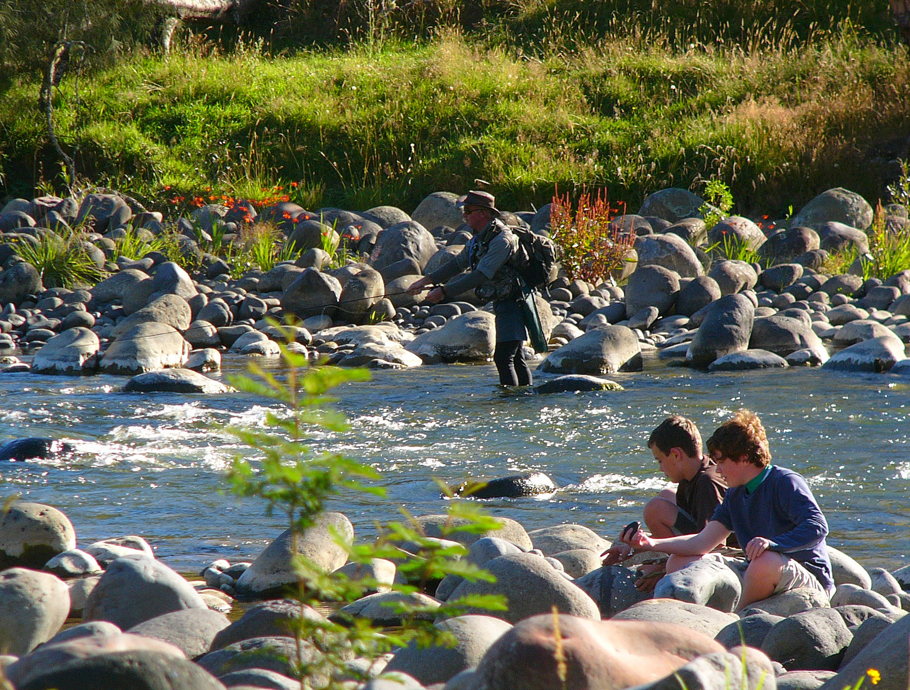
I'll leave you with some pictures of Ruatiti Campgrounds so you can see what it's like! :)
Well it's a peaceful place away from the hustle and bustle of the cities, plenty of fishing, kayaking, rafting, swings, swimming, back yard cricket, touch rugby, native wildlife (blue ducks) and co plus plenty of other amazing things to do. The best part though is it's free to camp at! There aren't many places around NZ that are free to camp at anymore. This no fee includes camper-vans etc.
Ruatiti Domain is approximately 20-25mins out of Raetihi in the Ruapehu National Park district (North Island).
The camp ground is situated between the Manganuioteao River and the Ruatiti Stream. It has toilet facilities and cubicles to hang up solar or portable showers. All drinking water taken from the river, stream or taps is suppose to be boiled. Most popular time is around Christmas and New Years.
Here's a good website for looking up fishing spots, weather reports and regulations in the Ruatiti Domain area.
http://www.nzfishing.com/FishingWaters/Taranaki/TNKFishingWaters/TNKManganuioteao.htm
Also, if you're into hunting there's the Ruatiti Station just up the road that takes guided hunts for red deer and boar etc. For more information check the website below.
http://www.safarisupply.co.nz/Resources/Hunting+Guides++Access/North+Island+-+Central/Ruatiti+Wilderness.html
Directions to Ruatiti from various locations via Google Maps
From Taupo
http://maps.google.co.nz/maps?saddr=Taupo,+Waikato&daddr=Ruatiti+Stream,+Ruatiti,+Manawatu-Wanganui&hl=en&ll=-39.074644,175.874634&spn=1.142875,2.705383&sll=-39.302425,175.290298&sspn=0.284796,0.676346&geocode=FQS0sf0dQp5-CilbFksUd-9rbTHgCaNDYe8ABQ%3BFUQqqP0dxlVxCinFDIJuBNxqbTFg9t9lYe8AKg&oq=ruati&gl=nz&mra=ls&t=m&z=9&source=gplus-ogsb
From Wanganui to Ruatiti
http://maps.google.co.nz/maps?saddr=Wanganui,+Manawatu-Wanganui&daddr=Ruatiti+Stream,+Ruatiti,+Manawatu-Wanganui&hl=en&ll=-39.595107,175.388489&spn=1.134399,2.705383&sll=-39.074644,175.874634&sspn=1.142875,2.705383&geocode=FRe3nv0d0gRvCilLY3Z-dLhqbTEymaNDYe8ABQ%3BFUQqqP0dxlVxCinFDIJuBNxqbTFg9t9lYe8AKg&oq=wan&gl=nz&mra=ls&t=m&z=9&source=gplus-ogsb
From Palmerston North
http://maps.google.co.nz/maps?saddr=Palmerston+North,+Manawatu-Wanganui&daddr=Ruatiti+Stream,+Ruatiti,+Manawatu-Wanganui&hl=en&ll=-39.802206,175.578003&spn=1.131,2.705383&sll=-39.595107,175.388489&sspn=1.134399,2.705383&geocode=Fc5FmP0dlpF3CimDRKO9n61BbTEVmaJDYe8ABQ%3BFUQqqP0dxlVxCinFDIJuBNxqbTFg9t9lYe8AKg&oq=Palmerston+N&gl=nz&mra=ls&t=m&z=9&source=gplus-ogsb
From New Plymouth
http://maps.google.co.nz/maps?saddr=New+Plymouth,+Taranaki&daddr=Ruatiti+Stream,+Ruatiti,+Manawatu-Wanganui&hl=en&ll=-39.093831,174.814453&spn=1.142564,2.705383&sll=-39.802206,175.578003&sspn=1.131,2.705383&geocode=FfcOrP0dXC1gCikNzmQj5vkUbTGg6aJDYe8ABQ%3BFUQqqP0dxlVxCinFDIJuBNxqbTFg9t9lYe8AKg&oq=New+Plymou&gl=nz&mra=ls&t=m&z=9&source=gplus-ogsb
I'll leave you with some pictures of Ruatiti Campgrounds so you can see what it's like! :)
Tuesday, March 27, 2012
Mt Ruapehu
Mt Ruapehu is located in the central part of the North Island.
A great place to ski or board. It has two major slopes to ski and board on; Whakapapa and Turoa.
Here's a good site for mountain weather reports and real time webcams.
http://m.mtruapehu.com/
Other good sites to check out for Mt Ruapehu are;
http://www.newzealandnz.co.nz/ski-areas/whakapapa.html
http://www.tukino.co.nz/ski-field-mt.html
http://www.chateau.co.nz/Mt-Ruapehu-Skiing


- Sent from my iPhone
A great place to ski or board. It has two major slopes to ski and board on; Whakapapa and Turoa.
Here's a good site for mountain weather reports and real time webcams.
http://m.mtruapehu.com/
Other good sites to check out for Mt Ruapehu are;
http://www.newzealandnz.co.nz/ski-areas/whakapapa.html
http://www.tukino.co.nz/ski-field-mt.html
http://www.chateau.co.nz/Mt-Ruapehu-Skiing
- Sent from my iPhone
Location:Wellington, New Zealand
White Island - Active Volcano
White Island is an active volcano situated in the Bay of Plenty. Closest places are Whakatane and Tauranga.
White Island is most famous for its guided tours. There are diving and helicopter tour options to choose from too. Sulfur mining was attempted in the early 1900s hundreds. However, it did not end well for the workers so was abandoned.
There are several different tour companies to choose from. Please find some links attached below.
http://www.whiteisland.co.nz/
http://www.wi.co.nz/
http://www.vulcanheli.co.nz/whiteisland.html
http://www.divewhite.co.nz/
White Island is most famous for its guided tours. There are diving and helicopter tour options to choose from too. Sulfur mining was attempted in the early 1900s hundreds. However, it did not end well for the workers so was abandoned.
There are several different tour companies to choose from. Please find some links attached below.
http://www.whiteisland.co.nz/
http://www.wi.co.nz/
http://www.vulcanheli.co.nz/whiteisland.html
http://www.divewhite.co.nz/
Subscribe to:
Posts (Atom)